Measuring the impact of events like marine heatwaves on marine organisms is a challenging task. Natural changes in biological communities over time and location need to be separated from those caused by human activities. Traditional methods used by marine biologists involve estimating population sizes in small areas of underwater cliffs or coral reefs. This can be done by laying a tape measure on the reef or taking pictures of squares of known area and later determining the area covered by different organisms. However, these methods only provide estimates for a small portion of the total reef and do not capture the three-dimensional complexity and structure created by reef organisms.
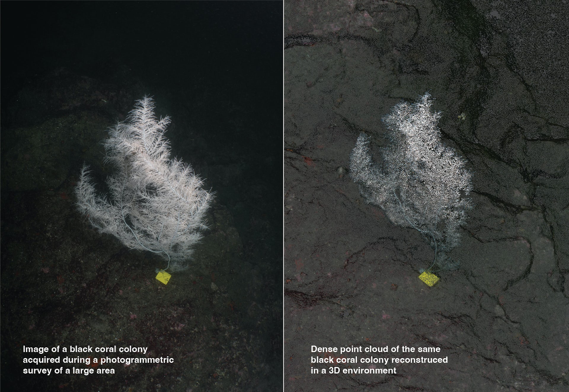
A new study demonstrates how modern photographic techniques can be used to measure coral reef habitat complexity and the three-dimensional nature of reefs. Photogrammetry, a technique that extracts 3D information from photographs, is used to analyze and convert images into accurate 3D digital models. This allows for precise measurements of organisms and provides a better understanding of the factors contributing to reef structural complexity.
The study compared the structural complexity of coral-dominated and sponge-dominated areas of a coral reef using photogrammetry. It found that sponge-dominated reefs had fewer small spaces for fish and other organisms to live, while coral-dominated reefs had fewer larger spaces. This information is crucial as the smallest spaces on coral reefs support small fish and other species that feed animals higher up the food chain. Losing these small refuge spaces reduces the ability of coral reefs to support biodiversity.
Photogrammetry is revolutionizing the monitoring and mapping of marine ecosystems. With modern hardware and software solutions, it is now possible to create models for larger areas and identify even the smallest animals in the models. These 3D models provide new sources of information, such as accurate surface areas and volumes of organisms, which are important in measuring their ecological importance. Additionally, the models can be oriented, scaled, and geo-referenced, making it easier to locate previously surveyed areas.
The use of 3D models derived from photogrammetry also has great potential for engaging the public. Virtual reality experiences can allow people to interact with marine environments, increasing their environmental consciousness and understanding. These models represent a transformative shift in the gathering of information in marine ecosystems and will support more extensive monitoring and effective management as technology continues to develop.