Rock art is a fascinating glimpse into the past, offering valuable insights into how our ancestors perceived the world. However, studying rock art can be challenging due to varying interpretations and disagreements among researchers. Despite these difficulties, a new study published in Archaeological and Anthropological Sciences presents an innovative approach to understanding rock art in Arnhem Land.
The research focuses on the Red Lily Lagoon area in western Arnhem Land, which holds significant historical records, including Australia’s oldest archaeological site. Over the past 14,000 years, the region has experienced dramatic changes in its landscape due to rising sea levels. The coastline has shifted from hundreds of kilometers away to its current position, impacting the lives of the people living there.
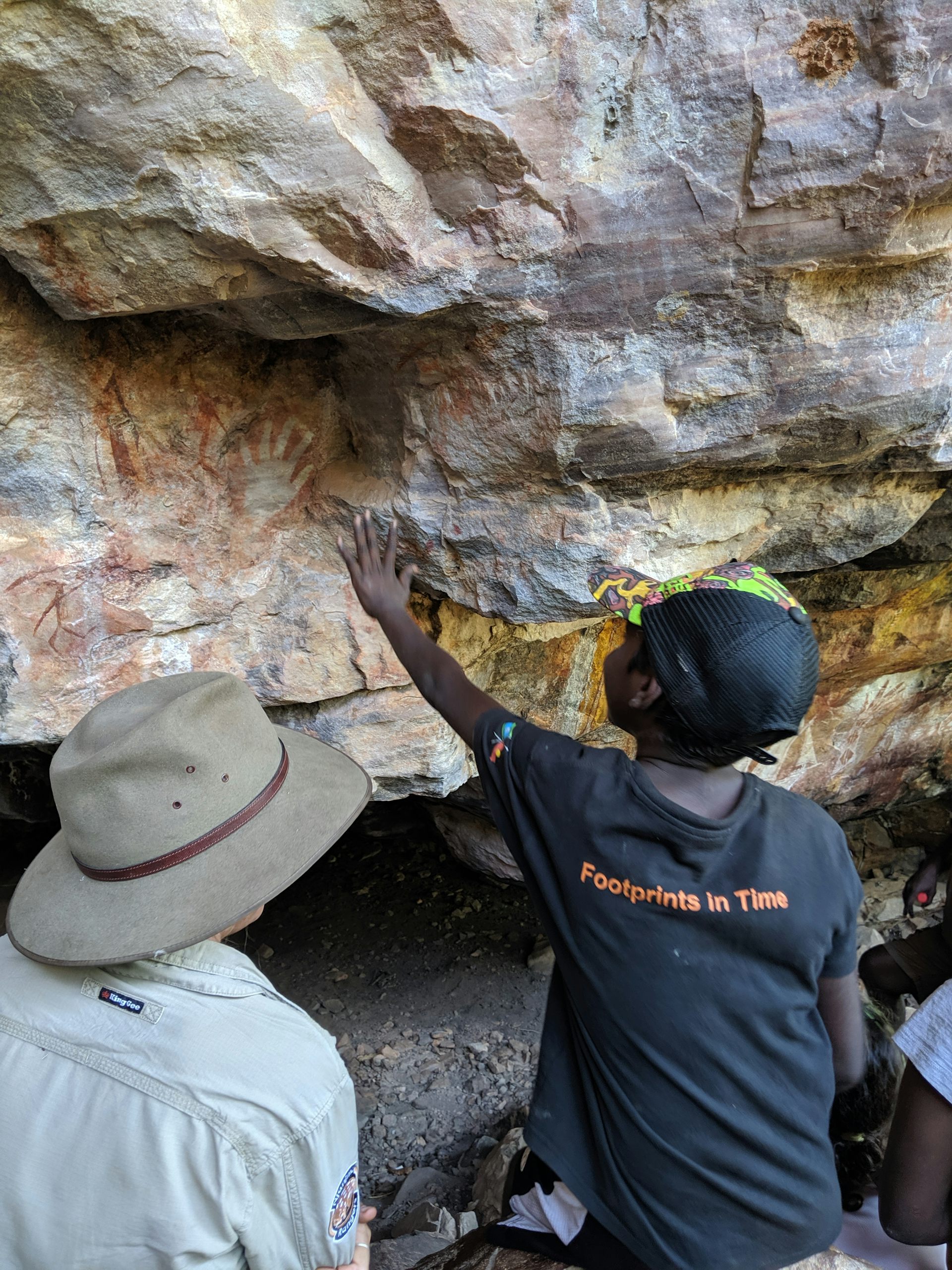
Arnhem Land boasts an impressive rock art record that is still maintained by Traditional Owners today. The rock art can be categorized into different styles that align with landscape changes caused by rising sea levels. For example, the appearance of saltwater animals in the art coincides with the sea’s impact on the area.
To overcome the subjective nature of interpreting rock art, archaeologists often analyze the placement of the artwork in relation to the landscape. However, this approach assumes that the landscape remains similar to when the art was created, which is not true in Arnhem Land due to significant landscape changes over thousands of years.
The new research utilizes high-resolution elevation data obtained from plane and drone surveys to understand the placement of rock art sites throughout the changing landscape. Buried landscapes are also mapped using imaging techniques to track landscape evolution over time. This approach provides insights into what inspired people to create rock art at different periods.
The study reveals that rock art production was most active and diverse during a period when mangroves covered the floodplains. This suggests that the abundant resources provided by mangroves sustained a large human population or that it was a response to limited available land due to rising sea levels. Additionally, rock art was preferentially made in areas with long-distance views over open woodlands during the sea level rise, possibly for hunting or landscape management purposes.
Overall, the research demonstrates that rock art placement was intentional and influenced by social and economic changes throughout the history of human occupation in western Arnhem Land. Considering rock art in the context of the modern landscape hinders the understanding of patterns and other archaeological records. Detailed models of the surrounding landscape offer profound insights into past human activities, including the remarkable artwork of Arnhem Land.